GIS vs SpatialAI: The Next Evolution in Place Based Intelligence
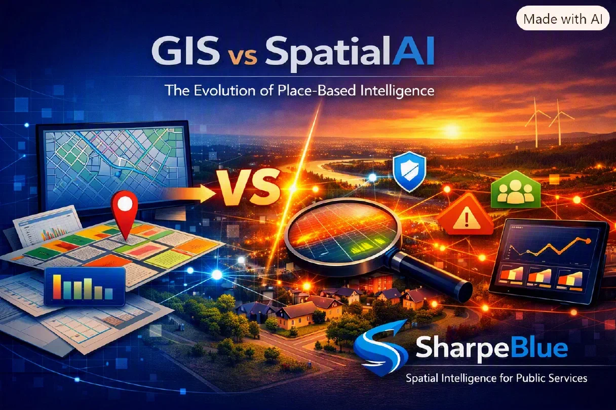
GIS vs SpatialAI: The Future of Place‑Based Intelligence
GIS vs SpatialAI: The Next Evolution in Place‑Based Intelligence
Geographic Information Systems (GIS) have long been the backbone of spatial analysis — mapping assets, visualising boundaries, and supporting planning decisions. But as councils face rising complexity, dynamic demand, and the need for predictive insight, SpatialAI is emerging as the next evolution.
SpatialAI doesn’t replace GIS — it builds on it. It transforms static maps into intelligent systems that understand behaviour, forecast risk, and optimise outcomes in real time.
GIS: The Foundation of Spatial Understanding
GIS provides the essential spatial framework for local government. It answers where things are:
- Where assets are located
- Where incidents occur
- Where boundaries and zones overlap
- Where services are delivered
GIS is powerful for mapping and visualisation, but it’s fundamentally descriptive. It shows what has happened — not what will happen next.
SpatialAI: The Predictive Layer
SpatialAI adds intelligence to the map. It combines spatial data with machine learning, behavioural sensing, and predictive modelling to answer why things happen and what will happen next.
SpatialAI enables councils to:
- Forecast demand across care, transport, and community services
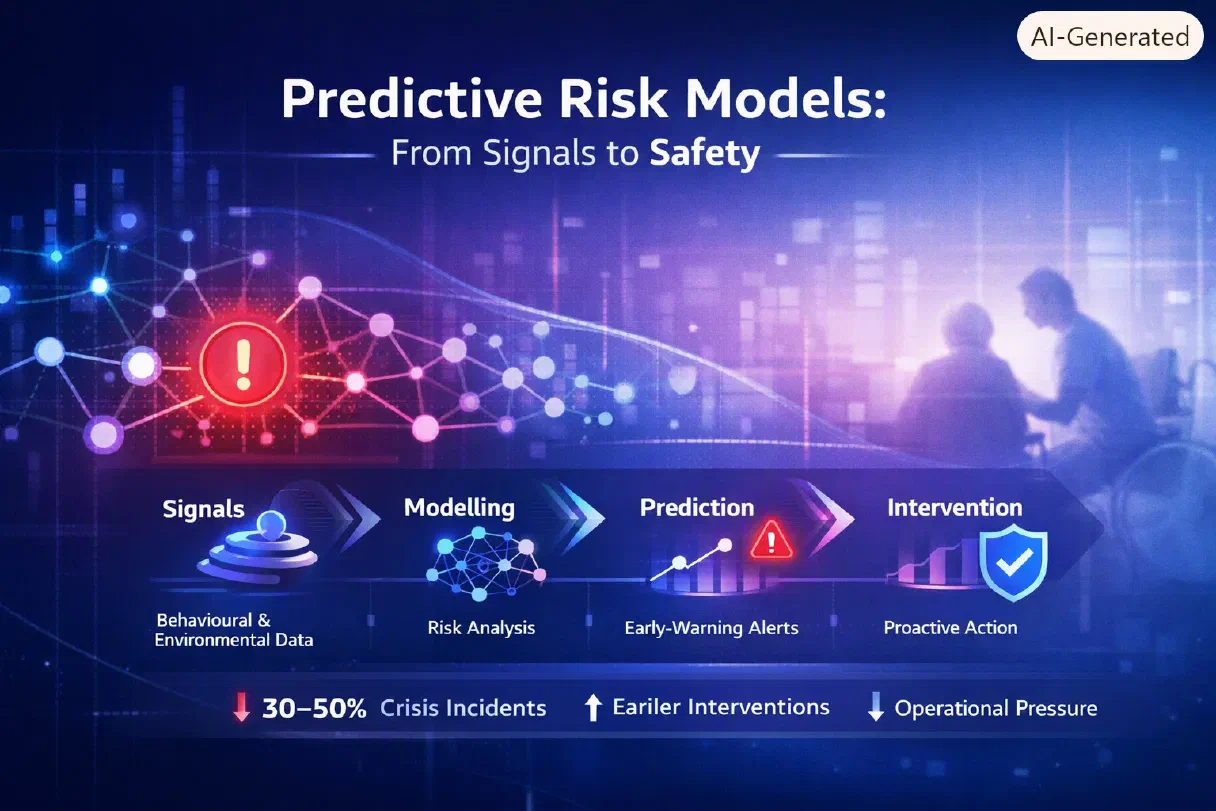
- Detect risk patterns in safeguarding, housing, and public safety
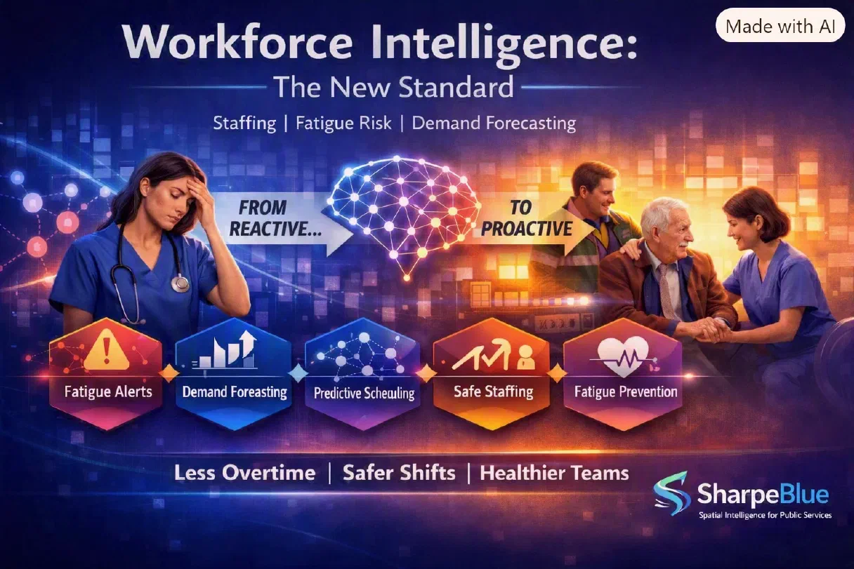
- Optimise workforce deployment based on predicted flow and fatigue risk
- Model interventions to improve outcomes before issues escalate
Where GIS visualises, SpatialAI interprets and predicts — turning maps into decision engines.
Key Differences at a Glance
| Feature | GIS | SpatialAI | | Core Function | Mapping & visualisation | Predictive insight & optimisation | | Data Type | Static, historical | Dynamic, real‑time, behavioural | | Output | Descriptive maps | Forecasts, alerts, recommendations | | Use Case | Planning & asset management | Risk prevention, demand forecasting, workforce optimisation | | Intelligence Level | Manual analysis | Machine learning & automation |
Why Councils Are Moving Beyond GIS
Councils already use GIS for planning and asset management — but the next step is SpatialAI, which connects data across departments and predicts outcomes across a place.
SpatialAI helps councils:
- Move from reactive to proactive decision‑making
- Integrate fragmented datasets into a unified spatial layer
- Improve safeguarding, planning, and demand management
- Deliver measurable improvements in efficiency, safety, and wellbeing
It’s not just about seeing the map — it’s about understanding the story behind it.
SharpeBlue SpatialAI: Built for Public Services
SharpeBlue’s SpatialAI platform unifies data from care, transport, estates, and community systems into a single spatial intelligence layer. It helps councils forecast demand, prevent risk, and optimise resources — turning place‑based data into actionable insight.
CTA: Learn How SpatialAI Builds on GIS
Discover how SpatialAI extends GIS into predictive, real‑time intelligence for councils and public‑service providers. Explore SharpeBlue SpatialAI