Hidden Patterns in Communities: The Power of SpatialAI
Hidden Patterns in Communities: The Power of SpatialAI
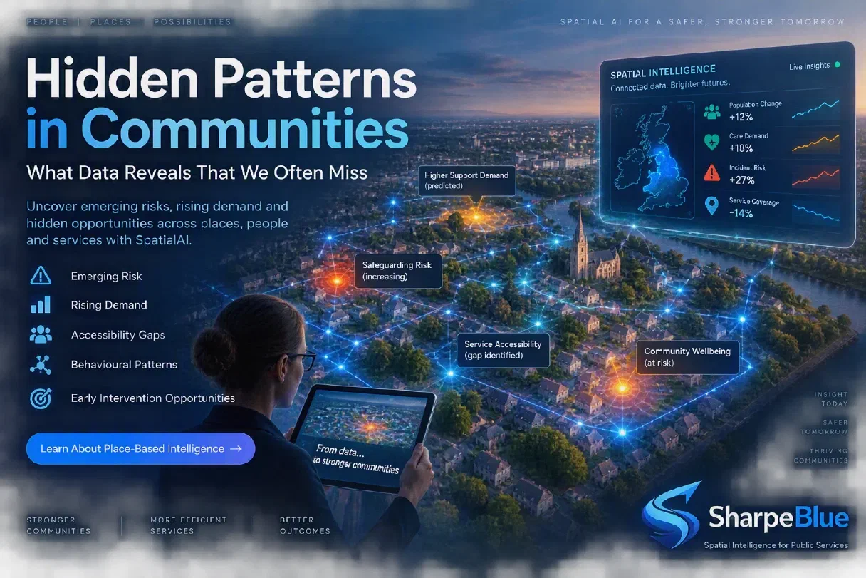
Hidden Patterns in Communities: What Data Reveals That We Often Miss
Communities are constantly generating signals. Every care visit, housing request, safeguarding referral, transport journey, and service interaction creates data. Yet many of the most important patterns remain hidden because information is spread across disconnected systems and departments.
The challenge facing modern councils is not a lack of data. It’s a lack of visibility.
Spatial intelligence helps reveal these hidden patterns, giving councils a clearer understanding of emerging needs, rising risk, and changing demand across places and communities.
Why Communities Are More Connected Than We Think
Most public-service challenges do not occur in isolation.
A rise in housing pressure may influence health outcomes. Changes in local mobility patterns may affect access to services. Increased demand for community support may precede safeguarding concerns.
When viewed separately, these signals appear insignificant. When viewed together through a spatial lens, they reveal meaningful community patterns.
Understanding these connections allows councils to identify not only what is happening, but why it is happening.
The Problem with Fragmented Insight
Data is often organised around services rather than places.
Different teams have different systems, different reporting structures, and different perspectives on the same community.
As a result:
- Risks emerge slowly and remain unnoticed
- Demand pressures are identified late
- Resources are allocated reactively
- Opportunities for prevention are missed
Without a unified view, councils are often responding to symptoms rather than underlying causes.
What Hidden Patterns Look Like
Emerging Risk Clusters
Spatial analysis can identify areas where multiple indicators are changing simultaneously.
These might include:
- Growing safeguarding concerns
- Increasing housing instability
- Reduced community engagement
- Rising demand for support services
Viewed individually, they appear unrelated. Viewed together, they may indicate a neighbourhood requiring early intervention.
Changing Demand Across Communities
Demand rarely grows evenly.
Some areas experience increasing pressure due to population change, demographic shifts, infrastructure developments, or environmental factors.
Spatial intelligence highlights where demand is likely to rise before services become overwhelmed.
This allows councils to plan proactively rather than reactively.
Service Accessibility Gaps
People can only benefit from services they can access.
By analysing travel patterns, location data, service coverage, and local demographics, councils can identify areas where residents face barriers to support.
These insights help ensure that services are located where communities need them most.
Movement and Behaviour Patterns
Communities are dynamic.
People move through neighbourhoods, public spaces, transport networks, and service environments every day.
Understanding these movement patterns helps councils:
- Improve planning decisions
- Optimise service delivery
- Enhance public safety
- Support economic development
- Design more effective interventions
Movement data often reveals patterns that traditional reports cannot.
From Data to Early Intervention
The greatest value of hidden pattern detection is prevention.
When councils can identify emerging risks early, they can:
- Target resources more effectively
- Prioritise preventative support
- Reduce crisis interventions
- Improve community outcomes
- Improve operational efficiency
Early intervention is almost always more effective and less costly than reacting after problems have escalated.
The Role of Spatial Intelligence
Spatial intelligence provides the missing layer between data and decision-making.
Rather than analysing information in isolation, it connects people, places, services, and environments into a single, unified picture.
This allows councils to answer critical questions:
- Where is risk emerging?
- Which communities need support now?
- Where will demand increase next?
- Where should resources be deployed?
- Which interventions are likely to have the greatest impact?
These insights enable leaders to make better decisions with greater confidence.
Building Smarter Communities
The future of public services will depend increasingly on understanding places, not just services.
Councils that can identify hidden patterns early will be better positioned to:
- Prevent harm
- Improve wellbeing
- Reduce operational pressure
- Allocate resources efficiently
- Deliver better outcomes for residents
The data already exists.
The opportunity lies in connecting it.
CTA: Discover Place-Based Intelligence
Learn how SharpeBlue SpatialAI helps councils uncover hidden community patterns, identify emerging risks, and turn fragmented data into actionable insight.